Area B is an area of study that was defined to encompass the eastern end of the TCE groundwater plume (> 5 ug/L TCE) as it was understood at the time (~2008). It is a 30-square mile area measuring six miles (east-to-west) by five miles (north-to-south), comprising all but the northern six square-mile sections of Township 13 North, Range 68 West (T13N, R68W) of the 6th Prime Meridian. This area includes the eastern half of the Belvoir Ranch and portions of the privately owned ranches to the north and south. Groundwater flow direction is towards the east and the groundwater TCE plume extends eastward across Area B. In the western part of Area B the plume is about ½ mile wide and TCE concentrations in the most recent groundwater samples were between 5.8 and 41 ug/L (Fall 2023 LTM results for Intercept Transect monitoring well groundwater samples – see Figure 5 (link to PDF) >>>> see attached pdf ). The TCE plume extends across the middle to the east-central portion of Area B where the width is greater, about two miles across and measured TCE concentrations range between 6.1 and 21 ug/L. The plume configuration is stable, with the leading edge located ½ mile east of Area B.

The central and east-central portions of Area B encompass most of the Cheyenne Board of Public Utilities Borie Wellfield, with the easternmost municipal well located along the eastern edge of Area B. The TCE plume extends 0.5 mile east of Area B in an area where a few industrial wells are located. The Borie well field is named after a locality in Section 15 (T13N, R68W) where in previous times a passenger rail station was located along Otto Road near the center of Area B; the Borie locality is shown on USGS topographic maps. Eleven industrial production wells and four municipal production wells are located in the Borie field. Several residential water wells and seasonal-use stock wells are also located in the area. There are also a few deep (~8,000 feet) oil wells in this area, but they are unrelated to the TCE plume.
In Area B, TCE migration likely occurs predominantly within preferential flow paths of the Ogallala distal alluvial fan deposits that exhibit minimum intrinsic flow velocities between 1 and 4.2 feet/day. These flow velocity estimates are based on several pump tests conducted by Wyoming Water Development Commission, Wyoming State Engineer’s Office, and the U.S. Army Corps of Engineers and are based on the full aquifer thickness including flow zones and confining layers, so velocities in the preferential flow zones may be higher. The preferential flow paths are most likely along radial buried sand and gravel channel deposits or laterally continuous sandy braided stream deposits.
The Ogallala aquifer saturated thickness in Area B is generally between 160 and 210 feet depending on location; this saturated thickness range prevails across most of Area B from the Intercept Transect wells to the east boundary (see Figure 5 ). Further south (at MW97) and southeast (at MW100) the saturated thickness is slightly less, measured at 183 and 145 feet, respectively. Towards the south end of the Intercept Transect the saturated thickness is also slightly thinner at about 100 feet, reflective of a rise in elevation of the base of the aquifer (i.ie., the top of the White River Formation underlying the Ogallala alluvial fan aquifer), likely associated with a (buried) ridge structure.
Confined conditions within the Ogallala aquifer are observed at various wells throughout Area B, in the form of shallower depths to water in wells screened deeper in the aquifer than those screened near the water table. This aspect is most pronounced in the east/northeast of Area B and the adjoining Expanded Study Area where artesian conditions were encountered at MW97 and MW98 during drilling of the monitoring well boreholes. An artesian irrigation well is located 1.4 miles west of MW97 and feeds a small pond during the summer months. These artesian conditions suggest that there are somewhat extensive laterally continuous confining layers in the aquifer at these locations. Confining layers observed in the drill cores at the MW97 and MW98 locations are generally composed of silty or sandy/gravelly clay.
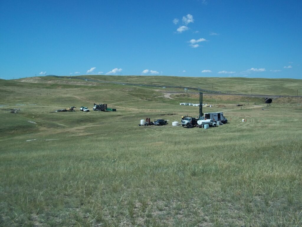
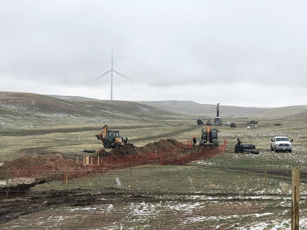
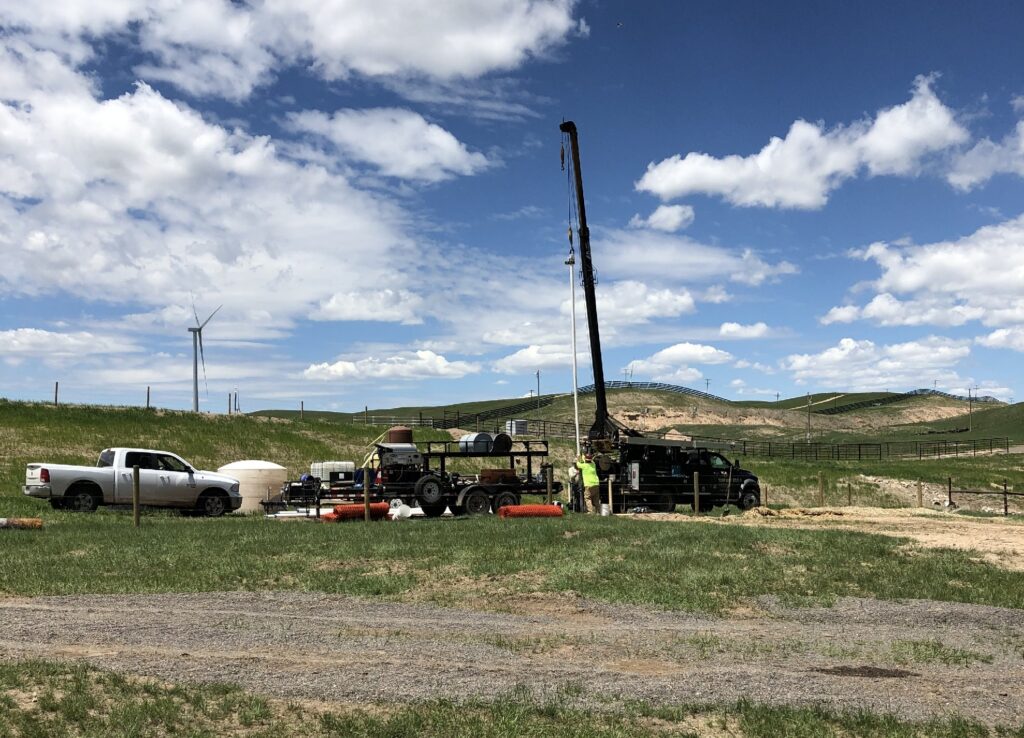
The Intercept Transect area was originally selected by USACE for a potential pump-and-treat (P&T) system to contain the TCE plume based on the saturated thickness of the Ogallala Fm. (average is 150 ft, which is sufficient to allow continuous pumping) and its location along the upgradient edge of the Borie well field. The north-south transect of triple-nested monitoring wells extends completely across the TCE plume with the endpoint wells located outside the plume. A groundwater model developed based on these wells and the results of the EW-01 72-hour pump test indicates that the plume could be intercepted by a pump-and-treat system utilizing five extraction wells each operating at 70 gallons/minute, located along the current transect (See USACE, 2020. Final Area-Wide Remedial Investigation Addendum Report).
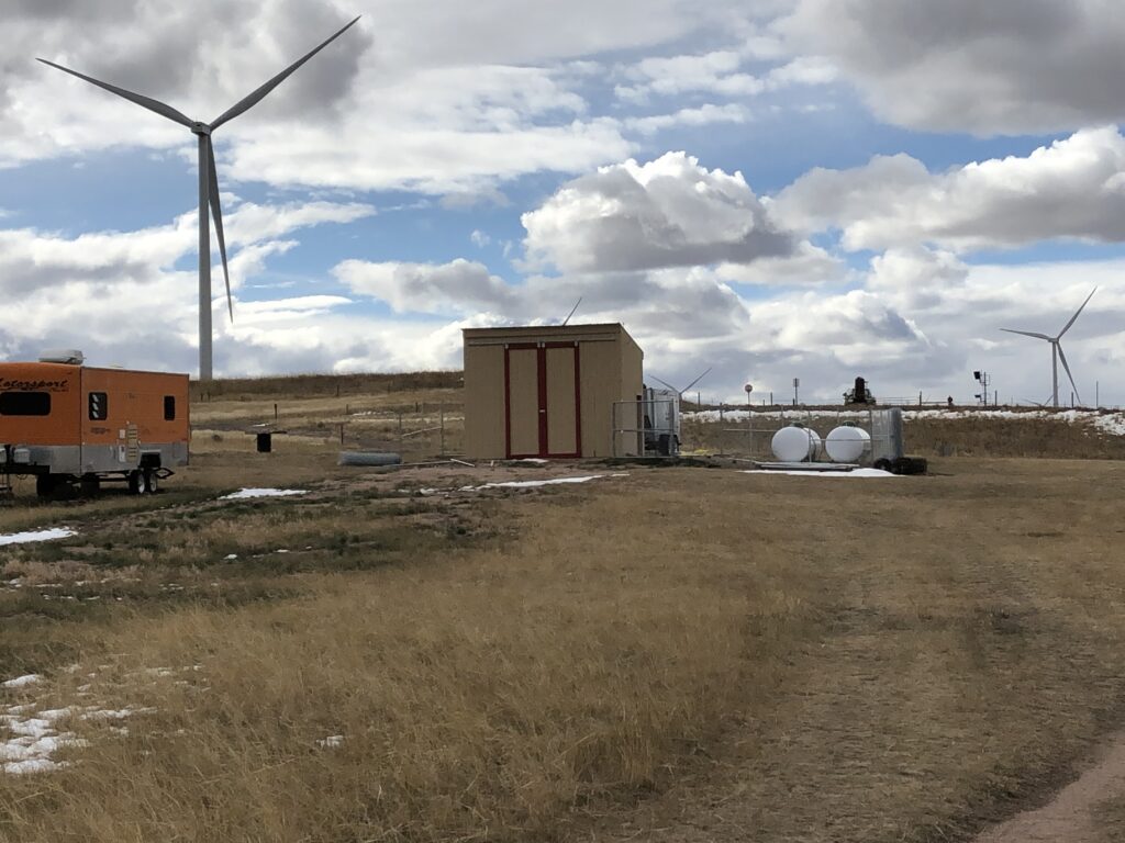
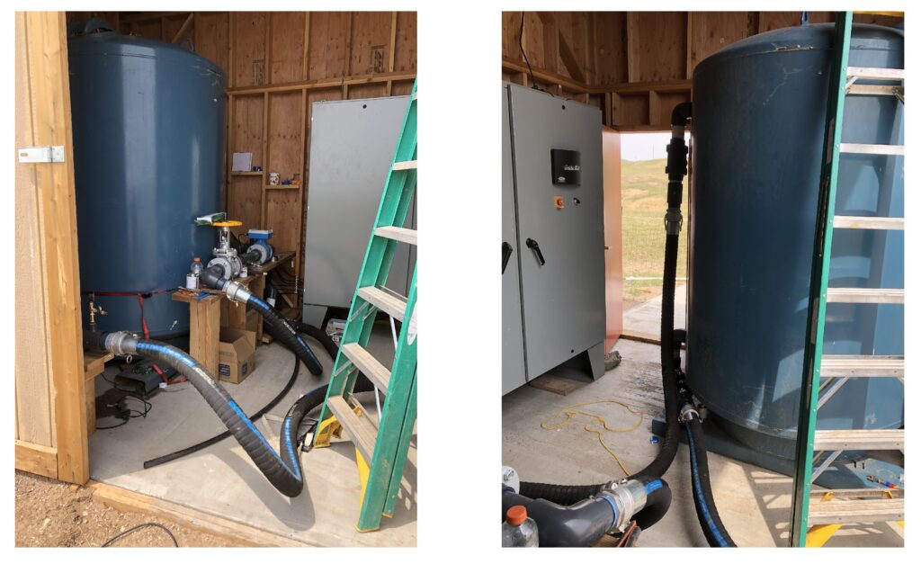
USACE completed a Pump, Treat, and Inject (PTI pilot test at the center point of the Intercept Transect in 2021. A pump was installed in the existing extraction well (drilled in 2011) and an injection well was drilled and installed approximately 800 feet downgradient from the shed. The system was operated continuously for two months in 2021 and another two months in 2022. Operation was generally successful although a calcium carbonate scaling issue was identified in the injection well that reduced the attainable injection rate. This aspect would require additional design measures for long-term success of injection of treated water back into the aquifer.
Webpage updated 6/29/2026